


Westland Branch
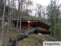
The Westland Branch is a walk or ride from the Montour Trail at the Galati Road trailhead to Westland, where it terminates. The trail parallels a road and a railroad part of the way, and provides awesome scenery as it passes through mostly rural farmland.
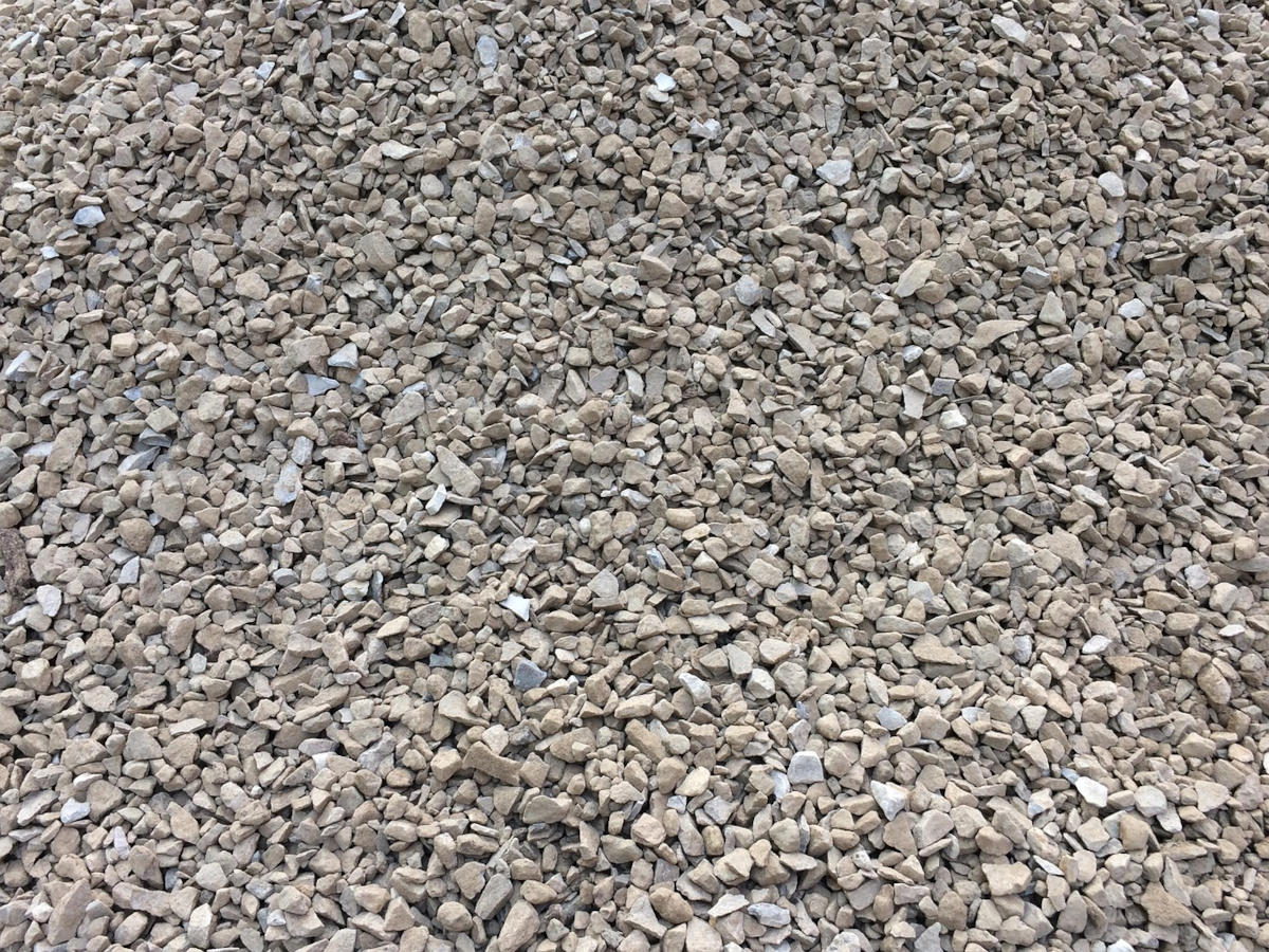
Starting near Venice, where Westland Branch leaves the Montour Trail, the branch crosses PA State Route 50 before continuing southwest (or south-southwest) for 31/2 to 4 miles, passing through Cecil, Mt. Pleasant, and Chartiers Townships along the way. It is a relatively flat (1.5% grade), crushed-gravel path. A four-foot-high chain link fence separates the trail from a rail line that was reactivated in 2012 to support the shale gas industry. Rail traffic consists of tanker loads that are pulled along an uphill grade at less than 15 mph.
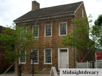
The Westland Branch terminates at a parking area in Westland, a community located mostly in Mt Pleasant Township but also in Chartiers Township. The Westland trailhead is at Hornhead Road across from the Westland Sportsman’s Club. The Westland trail access point has a lot of parking spaces and a portable toilet.
I visited this trail for the first time today. I had a fantastic experience. … Three tunnels and many bridges. I saw two young bucks and a doe with two fawns. Trail was busy and must have passed nearly 150 other trail users or more. Trail was in great shape and beautiful.
A 5-star review by crsdws_tl in 2021
Traveling Westland Branch from Westland northeast to the Galati Road access point opens up the entire Montour Trail, which is one of the longest suburban trail systems in America. Montour Trail is a rails-to-trails project that converted abandoned railroad beds into resources for healthy activities. Westland Branch of the Montour Trail was built at the same time that an old railroad bed was put back into service.
The Westland Branch opened in the 1920s to transport coal mined during the heyday of coal mining in Washington County. In the 1990s the Montour Trail Council purchased the single track right-of-way of the Westland Branch as part of a long-term plan to expand the rails-to-trails network. At the peak of fracking, MarkWest Energy Properties (MarkWest Liberty Midstream & Resources at the time) leased rights back from the Montour Trail Council to build five miles of active railroad track to provide rail service to their natural gas processing plant on Route 519 between Houston and Westland. As part of the agreement, MarkWest built four miles of parallel non-motorized trail — the Westland Branch.
On May 6, 2023, 3 members of Bower Hill hiked part of the Westland Branch of the Montour Trail. The weather was spectacular with lots of sunshine but cool enough for hiking. We started at the end of the trail near Westland. The trail followed the road for a short distance then veered away to follow the newly constructed rail line. After about 20 minutes of going uphill, we were treated to the view of farms in the valley below. We were serenaded by the cows below and encountered various birds, dogs and ducks. After about 2 miles of walking, we hit the high point of the uphill, turned around and returned to the car.
The Westland Branch is a centrally located place in Washington County to go for a walk or ride a bike. The trail is in great shape. The scenery is fantastic. Wildlife can be seen.
Where the Westland Branch starts and ends
This article was published in